Tuesday, July 21, 2015

Park Units 56, 57, 58: San Francisco Maritime National Historic Park, Rosie the Riveter, and John Muir National Historic Site

7/21/15. On day 2 of our road trip we started exploring the national park sites in the San Francisco Bay area. We drove into San Francisco and parked at Fort Mason, which is part of the Golden Gate National Recreation Area. We walked around the grounds and finally figured out the way to go up, over and down the hill to the San Francisco Maritime National Historic Park.

We spent some time in the wonderful visitors center learning about the history of the area and lots of information about maritime processes and life. This site also has a group of historic ships which you can board, and amazing views of Alcatraz and the San Francisco Bay.


We spent some time at the Ghirardelli Square which is across the street, then we walked back to Fort Mason. Many of the old military buildings have been redesigned as non-profit performance spaces and small business locations. We ate lunch there at "Greens," an amazing vegetarian restaurant with incredible views of the bay.


After lunch we drove across the bay to the Rosie the Riveter WWII Homefront National Historic Park. According to the National Park Website, you can "explore and honor the efforts and sacrifices of American civilians on the World War II home front.  Find out how they lived, worked and got along. Many faces, many stories, many truths weave a complex tapestry of myths and realities from this time of opportunity and loss."

We were lucky enough to hear a lecture by 95-year old Betty Reid Soskin who spoke about life as a Black woman during that time period. She worked as a clerk for the shipyards during the way and today she gave us a moving and fascinating perspective of the racial issues the arose as so many diverse people worked together toward their goal of ending the war.

We finished our visit here sooner than expected so we headed south to the John Muir National Historic Park. John Muir, of course, if the father of the national park movement and this site is where John Muir's home was. He was actually a very wealthy man from selling fruit from his acres of land. This wealth allowed him the privilege of writing and traveling so much. His house was typical of the time period, but we got to go to all 3 floors, including a bell tower above the roof. We enjoyed trying to identify the fruit trees and we learned quite a few we didn't know! We weren't surprised to find that he also planted a few Sequoia trees on his land. As always, they were impressive!


In order to avoid the traffic getting through the city, we stopped for dinner in Berkely. After exploring the town a bit, we settled on a pizza place.

By the time we left, the traffic was gone and we were treated to a lovely sunset over the bay on the ride back.

Monday, July 20, 2015

Juan Bautista National Historic Trail (San Juan Bautista State Park)

7/20/15. We started our Northern California road trip today! We left Burbank early in the morning with our goal to reach San Francisco by evening. We took the coast road up to Santa Barbara and stopped at El Capitan State Beach for a short walk on the beach.

We then followed the Juan Bautista National Historic Trail all the way to San Francisco. According to the National Park Service website, "In 1775-76, Anza led some 240 men, women, and children on an epic journey to establish the first non-Native settlement at San Francisco Bay. Today, the 1,200-mile Juan Bautista de Anza National Historic Trail connects history, culture, and outdoor recreation from Nogales, Arizona, to the San Francisco Bay Area."

Along the way, we stopped at San Juan Bautista State Historic Park to get one of the National Park Stamps that we didn't have yet. We were surprised to find a lovely museum and period buildings surrounding a large central plaza. The main building was a hotel with period furnishings and a very bad video. Among the other buildings were the Plaza Hall, the jail, the Mission, and a Livery that had a wonderful collection of horse-drawn carriages. There was a wide range of styles from plain ones that families might have used to very fancy ones that would have been driven with coachmen.


There were also beautiful views of the surrounding hills and the summer fields.

All in all, this was a little gem of  historical park that we were pleased to find. We continue to realize that collecting the national park stamps has led us to an amazing array of interesting places that we would not have otherwise visited!


Sunday, May 10, 2015

Parks 54 & 55: Hamilton Grange and General Grant National Memorials


5/10/15. Today, for a special Mother's Day treat, Catherine and Brad and I visited two national park units on our way to the New York Botanical Gardens where we spent the afternoon with the family.

First we drove up to Harlem to visit Hamilton Grange, the country home of Alexander Hamilton. The size of the home was quite modest, with a little museum in the lower floor. We learned a lot more about the controversial life of Alexander Hamilton, and the political happenings of his time period.

Next we headed over to the General Grant National Memorial. Sunday morning was a terrific time to go since there was parking available and not a lot of people. According to the National Park website, "The final resting place of President Ulysses Simpson Grant and his wife, Julia, is the largest mausoleum in North America. It testifies to a people’s gratitude for the man who ended the bloodiest conflict in American history as Commanding General of the Union Army and then, as President of the United States, strove to heal a nation after a civil war and make rights for all citizens a reality."


The memorial is a very impressive building in an impressive location. I'm surprised that I don't remember ever having visited before. We toured the inside of the building thoroughly and walked down by the river overlook before heading back to the car. It was a nice little piece of history to experience!

Saturday, January 3, 2015

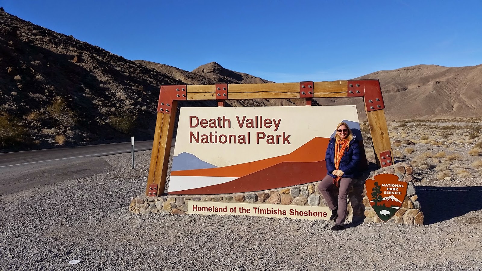
Park 47 Reprise: Death Valley (Part 2)

1/3/15. Last summer, Jason, Catherine and I traveled through the western part of Death Valley (the Panamint Valley area) but we gave up going any further because of the extreme heat and our worries that Catherine's car wouldn't make it up the mountain range without overheating. We promised ourselves that we would return to Death Valley from the Nevada side.

I'm thrilled to say that today we got to do that! We took a full-day tour out of Las Vegas so that we could enjoy the day without driving or navigating and it was a great choice. We left early in the morning and spent the entire day until dark in the park. It was a scenic tour so we stopped at many places and got to see a great variety of geological formations that were amazing, alien, and overwhelming. It was truly incredible!

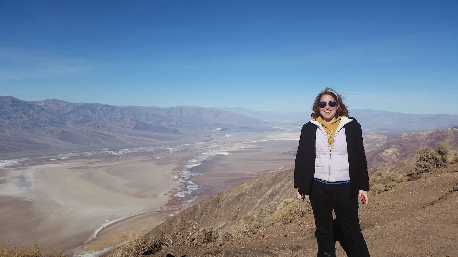
We started at Dantes View which is a high point on the eastern edge and has a view of the entire canyon. There are no words to describe the scale of the park.


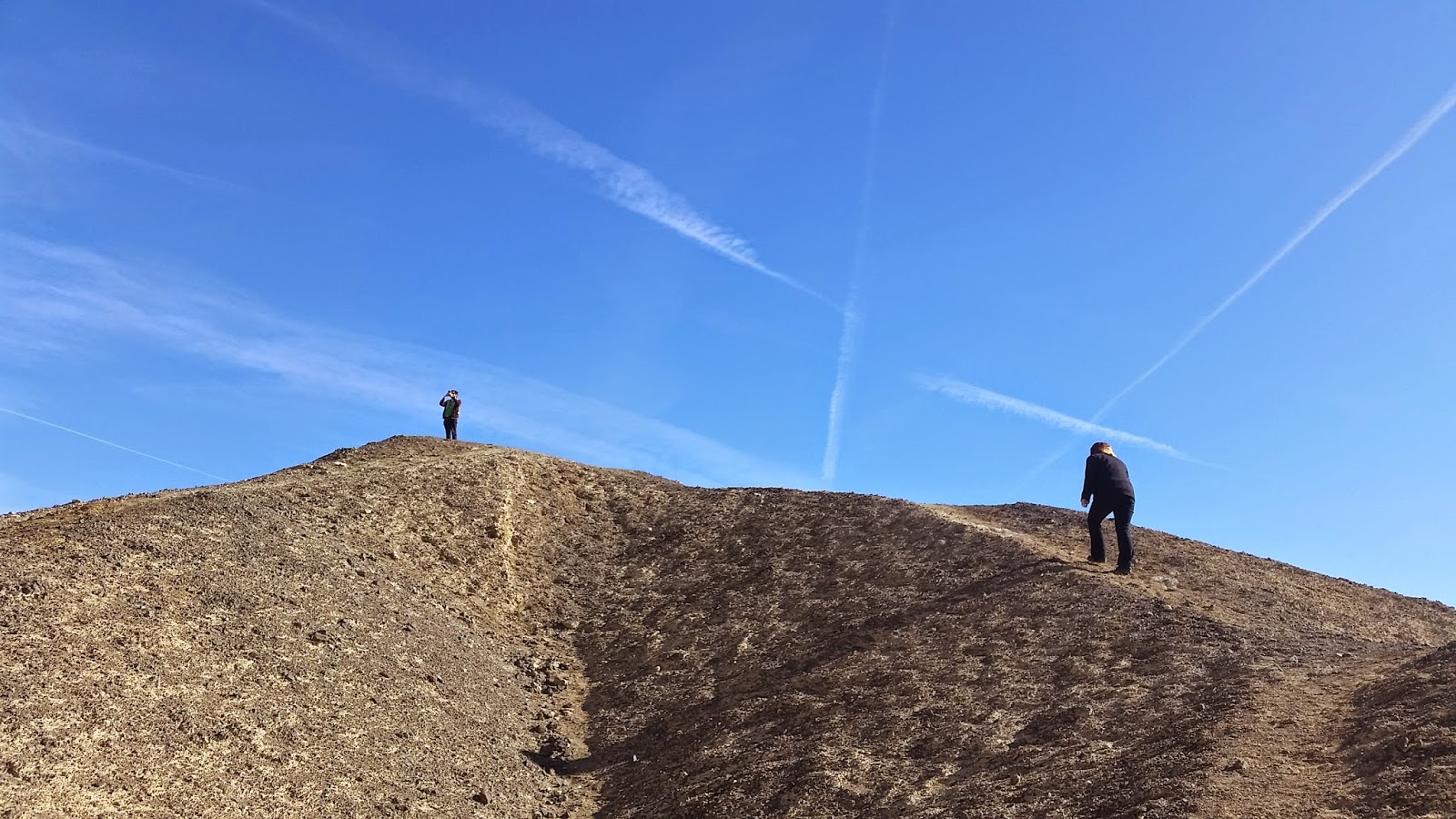
Next we drove down towards the valley and stopped at the Twenty-Mule Team Canyon that was filled with badlands where Borax had once been mined. I had never seen anything like this so it was absolutely fascinating. The ground was soft and covered with a hard crust -- like at the beach after a rain. We climbed to the top of one of the mounds to get a view of the badlands.


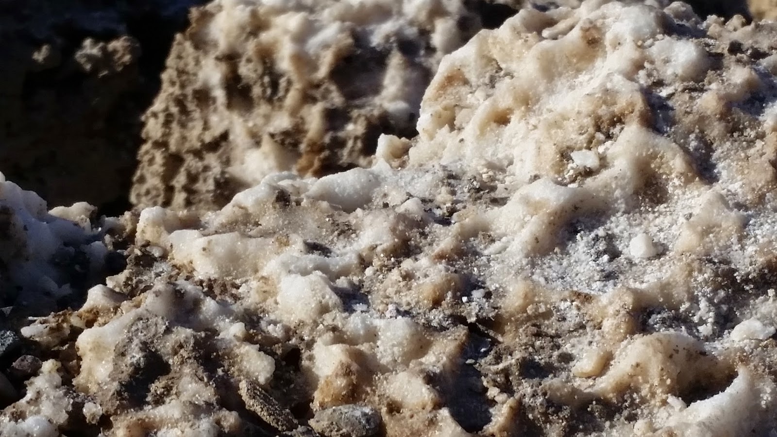
We drove into the valley next and stopped at the an area called "Devil's Golf Course". This had crazy looking salt crystals that were "floating" on top of an underground lake. The salt leaches up from below. The rocks were hard and very sharp. We were warned not to try to walk on them.


We then stopped a few other places, including Furnace Creek for lunch. The temperature was just around freezing when we left Las Vegas but in the valley it rose to about 60 degrees. We were able to shed our coats and enjoy the clear sunshine.

Next we went to the Badwater Basin which has the lowest elevation in North America. Here the salt flats have dried up and curled into patterns across the land.


After that we stopped at the Devil's Cornfield that had rows of desert plants across a wide plain.


It was now late afternoon and we spent a short while playing in the Mesquite Flat Sand Dunes. These looked like Hollywood kinds of desert sand dunes and the sand was extremely fine and powdery having been blow here through the mountain pass. The sand was soft as quiet as we walked on it and it clung to everything. Truly remarkable views!


We left the park and made one more stop at the Rhyolite ghost town on our way home. The sun was setting and there was a full moon that beautifully lit up the sky. What an amazing adventure!


Friday, January 2, 2015

Park 53: Lake Mead National Recreation Area (and Hoover Dam)

1/2/15. Catherine, Jason and I drove into Las Vegas from California on New Year's Day and got settled into our hotel. This morning we drove to the Hoover Dam. I had been here as a child, but Jason and Catherine had not yet seen it. We walked across the dam and admired the impressive American ingenuity and engineering. Catherine thought it was so cool that the towers looked just like those in the game Riven.


We also went up to the new Tillman Memorial Bridge and crept across, hugging the inner wall because the height is so terrifying! You can see the amazing views of the dam:


Next we drove to the Lake Mead Recreation Area, which really surprised us with the beautiful colors, especially the blue water. We stopped at the Alan Bible Visitor's Center for an overview of the geography, flora and fauna in the area (including snakes and tarantulas- yikes!!) and we got a lot of park passport stamps to add to our collection.

This area was so amazing with all the different colors in the mountains, hills, water, and shore, that we decided to take a drive around part of the lake. We headed north along the shoreline, and the scenery just got more and more beautiful.


Compared to our national park trips this summer, the weather was delightful - in the 40's most of the time, with lots of very bright sunshine.


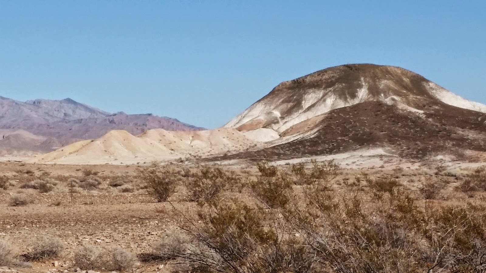
We suspect that the drought in the southwest was the reason that the water level was so low. You could see the bands of light color where the highest water level reaches. By the time we got to the Lake Las Vegas area, there was no lake at all. The ground was extremely dry. Once again we were impressed with the rainbow of colors in the hills, canyons, and mountains in the area.


We returned to Las Vegas mid-afternoon, really pleased with our little day trip and amazed again at the beauty in the desert. This really got us excited about our trip tomorrow to Death Valley!